Start-ups
Two EXIST Transfer of Research projects start in Bochum
Food security and environmental protection, insight in the flood of geodata: two teams are now taking off with these ideas.
Two spin-offs from RUB have qualified for the Champions League of start-up support: LiveSen develops biosensor test strips that make agriculture more efficient and protect the environment. GeoInsight uses artificial intelligence to sensibly evaluate the growing flood of geodata and thus provide an easy-to-use database for complex questions. Both teams have received a funding recommendation in the current selection round of the Exist Transfer of Research programme by the German Federal Ministry for Economic Affairs and Energy. The projects are set to begin in March 2021 and receive a total of around 1.6 million euros of funding for 18 months.
Professor Andreas Ostendorf, Vice Rector for Research, Transfer and Early Career Researchers, is delighted: “We are very proud as both teams have everything it takes to become successful company founders. Our Worldfactory Start-up Center and our Start4Chem incubator have been supporting the teams with the application for months and have helped them get into the saddle so that they can now really get started with the funding from Exist. We are able to show once again that our efforts concerning start-up support are paying off.”
Using agricultural land as efficiently as possible
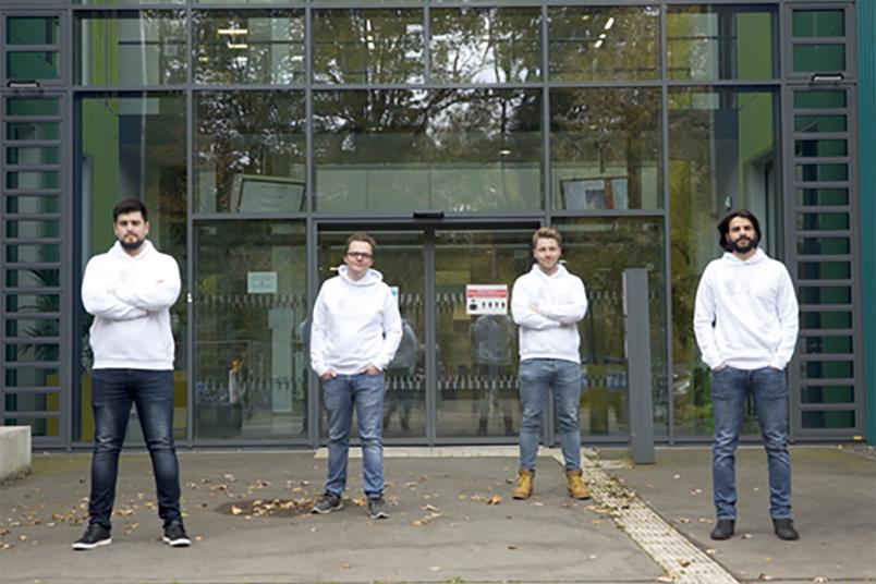
The question of when fertiliser should be applied to plants and in what amount has always been on farmers’ minds. Biosensor test strips, which were developed at RUB in the last ten years, make it possible for farmers to determine the nutrient content in the plants right away in the field. “This is economical, precise and quick,” explains chemist Dr. Tobias Vöpel, who will get the product ready for the market together with Dr. Alaa Oughli, Maximilian Ruschmeier and economist Daniel Wach. The data acquired using strips is uploaded into the cloud and automatically processed by an algorithm with other available information – such as satellite, weather and soil data. “This way, the farmer not only gets information about the condition of his field in the app but also a map for optimum fertilisation, which he can use right away to control his agricultural machines,” explains the founder.

The LiveSen team’s vision is to provide every farmer around the world with access to this technology. This would allow the available land to be used as efficiently as possible and the available resources could be employed optimally to protect the environment and increase food security.
An intelligent earth with a digital brain
International organisations that monitor epidemics, climate change and food security, companies in the financial and insurance sector, and authorities and governments inevitably act within space and rely on the evaluation of geodata. Complex geographical questions, in particular, can be responded to better when we draw on various sources of information, and combine and integrate data. However, geodata is provided in a wide range of formats, projections and scales and is difficult to integrate without laborious preparation and expertise.
The GeoInsight project promises a paradigm shift in the handling of Big Geodata: Using artificial intelligence, the founders Dr. Gino Caspari, Dr. Ana Gago da Silva, Dr. Michael Jendryke and João Carlos dos Santos Manuel want to evaluate the growing flood of geographical data so that it can also be used without a great deal of expert knowledge, time and effort.
The team of founders is developing a data platform that combines the geodata in a hierarchical network of hexagonal cells and evaluates it using artificial intelligence. Users can concentrate on information and knowledge. “We call this system ‘An intelligent earth with a digital brain’,” says Gino Caspari.